A circular route from Walberswick, Suffolk
This circular walk explores a landscape that has attracted football stars and Impressionist painters alike.
Just across the water from Southwold, Walberswick is a former fishing village where the pace of life can make its neighbour seem almost frenetic in comparison. Long adopted by artists, Walberswick has slowly morphed over the years from bohemian to shabby chic.
The village has been associated with artists since the late Victorian period: in the 1890s and 1900s, the circle of English Impressionists associated with Philip Wilson Steer came here to paint, and Charles Rennie Mackintosh made it his home in 1914 when, disillusioned with architecture, he came here to paint watercolours (it didn’t all go smoothly for him though: he was arrested as a possible spy in 1915).
As well as an artistic retreat, Walberswick is popular with walkers, birders and young families who come here to go crabbing. A very popular spot for this activity is the small bridge that crosses the channel by the main car park at the area known as The Flats. My mother once saw former England striker Gary Lineker dangling a line here.
The Suffolk Coast Path passes right through the village and it’s a lovely walk to Dunwich. It is even possible to walk all the way to Dunwich along the beach, although not really advisable as it is shingle the whole distance and really hard going. Plenty of shorter, circular walks that take in the marshes and bird-filled reedbeds are other options.
The route
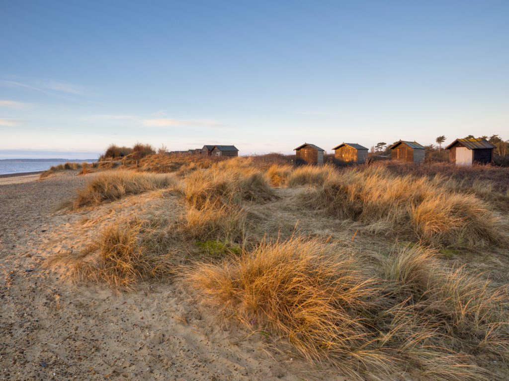
OS Landranger 156 or Explorer map 231; start: the car park at the Flats, TM501746; 5 miles; moderate
A fine circular walk can be made by following the west bank of the creek past the campsite as far as the derelict windmill, then heading away from the sea towards the trees at East Hill and following the path along the edge of the wood to reach a minor road.
Turn left along the road for a short distance then turn right through a gate with a bridleway sign to head diagonally across a meadow towards a wood – Sallow Walk Covert. Follow the edge of the wood and continue along the bridleway, which follows the route of the Sandlings Way, beyond the end of the wood. Walberswick church will now be visible ahead to the right, as will the buildings of Southwold beyond.
Approaching the B1387 that lies a little way ahead, take the waymarked footpath to the right across a field towards a farmhouse. Turn right at the road and then left immediately after the farmhouse through a gate that has a Walberswick National Nature Reserve sign.
Follow the track straight ahead across the common in the direction of Southwold’s water tower. Ignore the path on the right that leads to church and continue across the common to reach a tarmac track alongside a large reedbed. To the left, on the other side of the river, is a capped windmill.
Continue to reach the Bailey bridge that crosses the River Blyth. Turn right to return to the village along the river’s southern bank. If you are feeling particularly energetic, you could then cross over to Southwold by way of the ferry or the Bailey bridge a mile inland. The bridge is all that remains of the old Southwold to Halesworth Light Railway that ran its last train in 1929 after 50 years of service and was locally famous because its carriages had originally been intended for the Emperor of China. Reportedly, the forms of Chinese imperial dragons could just about be detected beneath the paintwork. Parts of the old railway route are still walkable, particularly between Blythburgh and Southwold.
More information
Discover more walks in the area in our Slow Travel guide.