Introducing the Alpe-Adria Trail: Europe’s hottest new hiking route
Don those hiking boots and explore some of Europe’s most spectacular scenery.
Let’s face it: after recent months, we could all do with a breath of fresh air. And what better way to do that than a hiking holiday in the mountains?
Enter the Alpe-Adria Trail. This fantastic multi-country hiking route weaves it way through some of central Europe’s most spectacular scenery, with very few tourists to boot. It begins in Austria, before snaking through Slovenia and finishing on the Adriatic coast in Italy. Accessible for experienced hikers, families and novices alike, this thoroughly enjoyable hiking trail may well be the adventure we are all so desperately craving.
What is the Alpe-Adria Trail?
The Alpe-Adria Trail (AAT) is an epic long-distance hiking route, stretching some 750km through the mountains of Carinthia, Slovenia and northern Italy – from the foot of the Grossglockner (at 3,798m, the highest peak in Austria and the Eastern Alps), to Muggia near Trieste on the Adriatic coast.
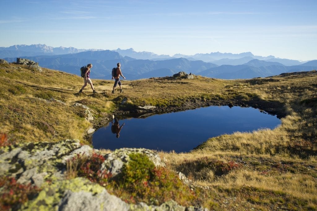
Over its meandering course, it takes in spectacular, unspoilt mountain scenery, alpine lakes, deep gorges, rocky karst and rolling coastal hills. The route passes through a whole raft of specially protected landscapes – from national parks and nature reserves to UNESCO biosphere reserves – and visits a succession of compelling historical sites, from the UNESCO-listed medieval city of Cividale, to remote pilgrimage churches, and the haunting relics of the Isonzo Front from World War I, still eerily resonant to this day.
And there’s hardly anyone walking it, despite excellent transport and accommodation – so, at least for now (and unlike many of the better-known trails in the region), you’ll often have the views to yourself.
How long does it take to hike?
The route is split into 43 stages (including a six-day circular route) and can comfortably be walked in six weeks – although it’s possible to get through the whole thing in not much more than a month, allowing closer to six weeks to cover the route will be more rewarding and allow you the occasional day off from hiking, either to put your feet up, visit local cultural and heritage sites, or (if you’re still full of energy) jump on a mountain bike or paddle off in a kayak.
Stages average around 20km a day, sometimes more or less – the longest stage is over 27km, the shortest less than 11km (these short days can often be combined with the preceding or following stage to cut down the overall number of days required to complete the route).
There’s a huge amount of scope for lingering and exploring further – mountain peaks and architectural gems, alpine railways, wine cellars and traditional festivals – without even venturing very far from the main trail, often without leaving it at all.
Is the route well-marked?
Along the trail you’ll follow a mixture of paths and 4×4 tracks, with some sections of walking on asphalt roads inevitable; at times it shares the trail of other long-distance hiking routes, such as the Via Alpina. Trail markings are generally good but are better in Alpine areas than along the coast.
Depending on the terrain, stages may have up to 1,500m or so of ascent and/or descent in a day in Alpine areas (1,000–1,300m is more usual), or less than a 100m of ascent and descent in lowland areas, and you can expect hiking times of between 5 and 7 hours a day. A high point of between 1,800m and 2,200m is usual for Alpine sections of the route such as Nockberge, sometimes marginally higher (Stages 1 and 16).
Is it suitable for everyone?
This is never really a wilderness hike in the true sense – the route has been chosen to make it fairly easy and accessible to all, with stages finishing where there is accommodation in the form of a pension, hotel or a mountain hut rather than charging off into the wilds completely.
It’s a great walk for families, with only very few spots which could be more challenging for younger kids, such as a few swing bridges. And despite the route passing close to some major population centres such as Trieste, it manages to remain, for much of its length, wonderfully green and remote. The terrain is extraordinarily rich for wildlife and plants – from lammergeiers and marmots in the Hohe Tauern, to Alpine butterflies and orchids in the Julian Alps.
What is the food and accommodation like?
Accommodation standards along the trail are good, and booking (and if you require them, arranging baggage transfers) is made exceptionally easy through the Alpe-Adria Trail booking offices. There’s no need to carry a tent (nor will you find very many campsites where you could pitch one, and wild camping is generally prohibited, so you’d do much better to leave camping gear at home and enjoy carrying less), or any more food than a few snacks and sometimes a picnic lunch.
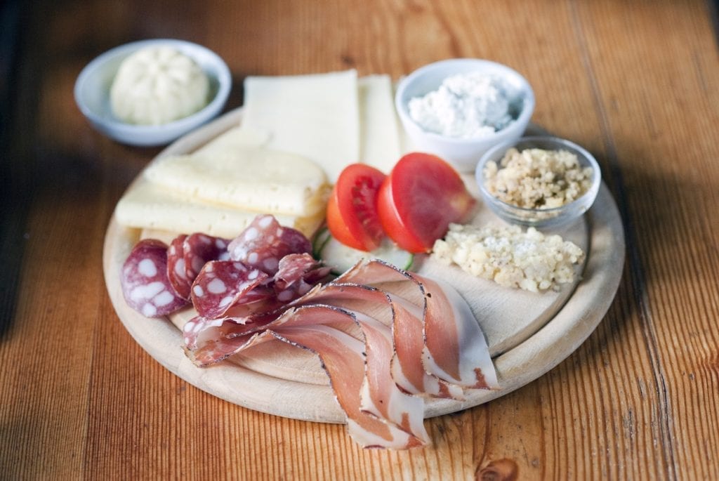
Food is a real highlight of the route, dipping in as it does to the culinary traditions of the mountains and the Mediterranean, from heavenly Nudeln and hearty peasant stews to exquisite pasta dishes and glisteningly fresh fish, and passing through some exceptionally good winemaking areas.
How do I get there?
There’s convenient access by public transport, making it just as easy to dip in and out of the route – say, splitting it into three or more two-week trips – as walking the whole thing in one go.
The route is intended to be walked from north to south, that is, finishing in Muggia – although if you really wanted to it could also be walked in the opposite direction, with more ascent, slightly less clear trail markings and without the inexplicable pleasure of finishing by the sea.
More information
For more details on how to start planning your route, take a look at our comprehensive hiking guide: